I received this complimentary product through the Homeschool Review Crew.
Maps can be an incredible tool in helping your child understand the context for history, literature, art, and even science. Homeschool in the Woods offered us their Maps Combo-Pak (US & World Maps) product to review with our kids this summer, and I'm excited to share some of the ways you can put it to work in your curriculum.
What is the Maps Combo-Pak (US & World Maps)?
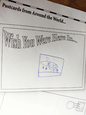
Both ancient and modern maps are included, for full continents and cultural areas (like the Ancient Viking World and the Twelve Tribes of Isreal.) There are also numerous activities and notebooking pages, such as creative writing projects of a travel brochure or newspaper, geography vocab sheets, and notable landmarks/Wonders of the World.
You can see the full list of included World Maps here.
The US Maps section has labeled, unlabeled and outlines maps of the fifty states, as well as several historical maps, including time periods from the Colonial era, until 1800, 1810, 1820, and so on. The Mitchell Map, Native American tribes, Confederacy, and state flags are all included, as well.
You can see the full list of included US Maps here.
When you first download the product, you'll have to extract it, since it comes in a ZIP folder. After that, you can see all of the maps by clicking into the main folders, or you can use the handy linked document to access maps.
This is perhaps the best way to use the products, as you can determine if you want the map to have labels, no labels, titles, etc. If you are using it to study from, you would use the labels, for example. Then, when giving a blank map to your child as a test or quizzing tool, you could generate one without the labels. It's a clever system to get the most out of the product.
How do we use this in our homeschool?
This is not a stand-alone curriculum, per see, but it offers so much for supplementary material for other courses. Any time my kids ask about a place, we look at the map included in this kit. We also use it to help get ideas started for creative writing projects, and to document what my kids have already learned in their history and ancient studies courses.
What are the benefits of this product?
This is a digital format, and you can purchase one family license to use again and again with your kids. We can see using this every year in some format, from memorizing your states, capitals, and flags, to just creating a family scrapbook of all the places you've visited together. Because it's so versatile, it's really up to you how you use it. These are often my favorite types of products to buy for a homeschool, because they can have endless possibilities.
The maps are clear, beautifully-designed, and kid-friendly. You can print them in black-and-white, then color with your own crayons, markers, or paints. They could be used for craft projects, as well.
Review summary
Maps have such a useful role in education, but this product offers so much more. With creative writing prompts, study tools, and a wide variety of options for actually printing the maps, this is a value-priced product that offers twice the maps and gives you years of teaching support.
Learn more:
See everything that Home School in the Woods has to offer at their website, including their timeline sets, like this Timeline Set: Napoleon to Now (1750 AD - Modern Day) See our other reviews here:
- Benjamin Franklin K-2 Lap-Pak Review
- Project Passport World History Study (Renaissance & Reformation)
- History Through the Ages Hands-on History Lap-Pak: U.S. Elections
You can also find them on social here:
See what other parents have to say here.


Comments
Post a Comment